
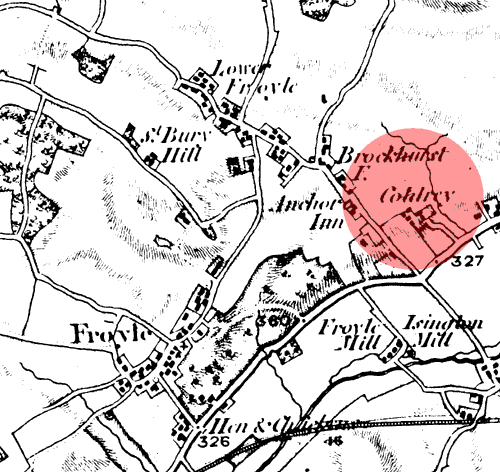
This map of August 1817 shows Coldrey (the red
shaded area) between Froyle and Bentley. Christopher Hussey, in his
1941 Country
Life feature about
Froyle describes Coldrey as:-
“Like Bonhams at the other end of the parish, it is actually outside its boundaries, having always been ‘extra parochial’, and, indeed, erected into a parish of its own in 1860, though there is no sign of a church, and is now incorporated in Bentley parish.”The Archive has very little information about Coldrey until recently - that has now changed after a contact by Ron Jones from Auckland, New Zealand, who has sent us some charming photographs of Coldrey. |