
The map below shows the Upper Froyle. The numbers are the plot numbers in the Tithe Book and the Rent Charge Schedule.
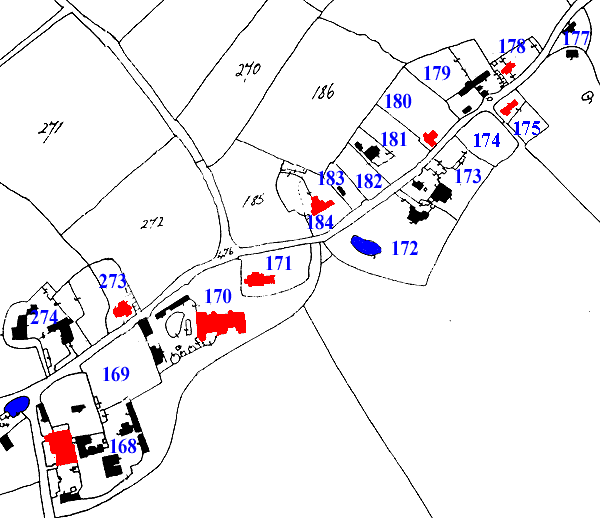
The main buildings in this area:
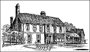
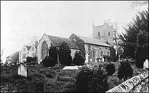
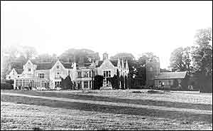
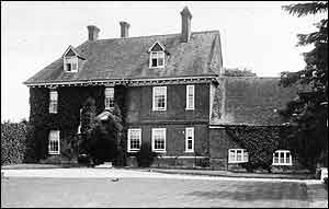
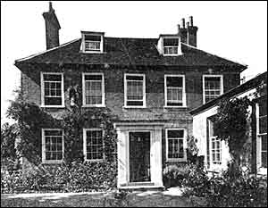
| Plot | Description |
|---|---|
| 168 | Farm house and yards |
| 169 | Walled Gardens |
| 170 | Mansion offices lawns etc |
| 171 | Church and yard |
| 172 | House offices lawn & shrubbery |
| 173 | Three houses gardens yards & plat |
| 174 | Collingbourne |
| 175 | House garden & plat late Blundens |
| 176 | Canners Meadow |
| 177 | Ryebridge cottages & gardens |
| 178 | Two cottages & gardens formerly Steel & Chappell |
| 179 | Farm yard & Rick yard late Blundens |
| 180 | Canners orchard & two cottages |
| 181 | House & Meadow late Rawlin’s |
| 182 | The Garden |
| 183 | Hop kiln and platt |
| 184 | Parsonage house & garden |
| 273 | House & garden |
| 274 | House garden and yards |